
General landscape information
Explore afforestation areas
Available Woreda layers:
Click on a entry to zoom to it on map
If you choose one area on the map or by searching the GIS database, you get a list of details connected to the chosen area. The connected items can be stored in the GIS or in the portals database.
Afforestation areas in Woreda Amhara Sayint
- Ene Derib Communal
- Ene Melaku Communal
- Keshasha
- Genamemicha Communal
- Maedur Communal Land
- Ene Shumye Communal
- Ene Mengestie Commun
- Ene Kibrekulu
- Mische
- Ene Tilahun Communal
- Woyramdir
- Ene Esayas Communal
- Ene Jenberu Communal
- Atat Communal
- Ene Moltot Communal
- Ene Ayalneh Communal
- Menter
- Mukeche
- Gualie Communal
- Yequas Youth
- Chelemadure
- Saygebche
- Ene Abate Yimam
- Genamemcha
- Agenano
- Yequas Communal Land
- Diwudiwa
- Loza Communal Land
- Wogugora
- Deldalie
- Tekesa
- Kitkitaw
- Gerembado
- Gebrewonz
- Galmota Woyira
- Kefo meskeya
- Densay Daget
- yechama
- Yeshintal
- Tachi Atat
- Shema Matebia
- Zala
- Abaden
- Tor mesaya
- Kesmender
- dildiy
- Tenanie Gedel
- Abagango
- yasho
- Sefiat
- Gorofaduk
- Yadal
- fikir mewugia
- Akalie kurkur
- Titu
- Yitoteren
- yashin
- Zegeye Aseta
- yejibut
- Kietema
- kurnchit
- Limat Amba
- yitoteren Youth
- Ankul
- Mera wonz
- Ene Dejenie Gebeyehu
- Adibaru
- Gede Mekemecha
- Fiyel Amba
- Ene Mekonen Adal
- Belechuma
- Debebo
- Petros
- Belgmidr
- aroye amba
- Meflekia
- Kok Wuha
- Nech wuha
- Durka communal
- Anakie
- Geberie Marfia
- Ene Moges Feten
- Godigudit
- Adibaru Gora
- Afkera
- Alemgito communal
- Ambersa
- Asit Yohans
- Birtmitad
- Defergie
- Degn
- Denguasa
- Dereke Amba
- dildyu daget
- Ene Abere
- Gelbatie
- Godigwade
- Jasa
- Kiltm Mesberia
- Kokit wuha
- Kosoberet
- Mesalemiaw
- Mush
- te communal
- Teklehayimanot Tig
- Teklehayimanot Washa
- Turu Geramie
- yegutema youth 1
- yegutema youth 2
- Yeketeria
- Begdo
- Ene Adisu Getahun
- Robet Milach
Description for the Woreda
No description yet for Amhara_Sayint_area with the ui: na
Statistics for Woreda Amhara Sayint
- Total size:1082.317
- Number of plots:903
- Number of members:5360
Financial situation/ Payment details
Search payment data
| 1. Amount | 2. Amount | 3. Amount |
|---|---|---|
| 0 | 0 | 0 |
No data available for visualisation.
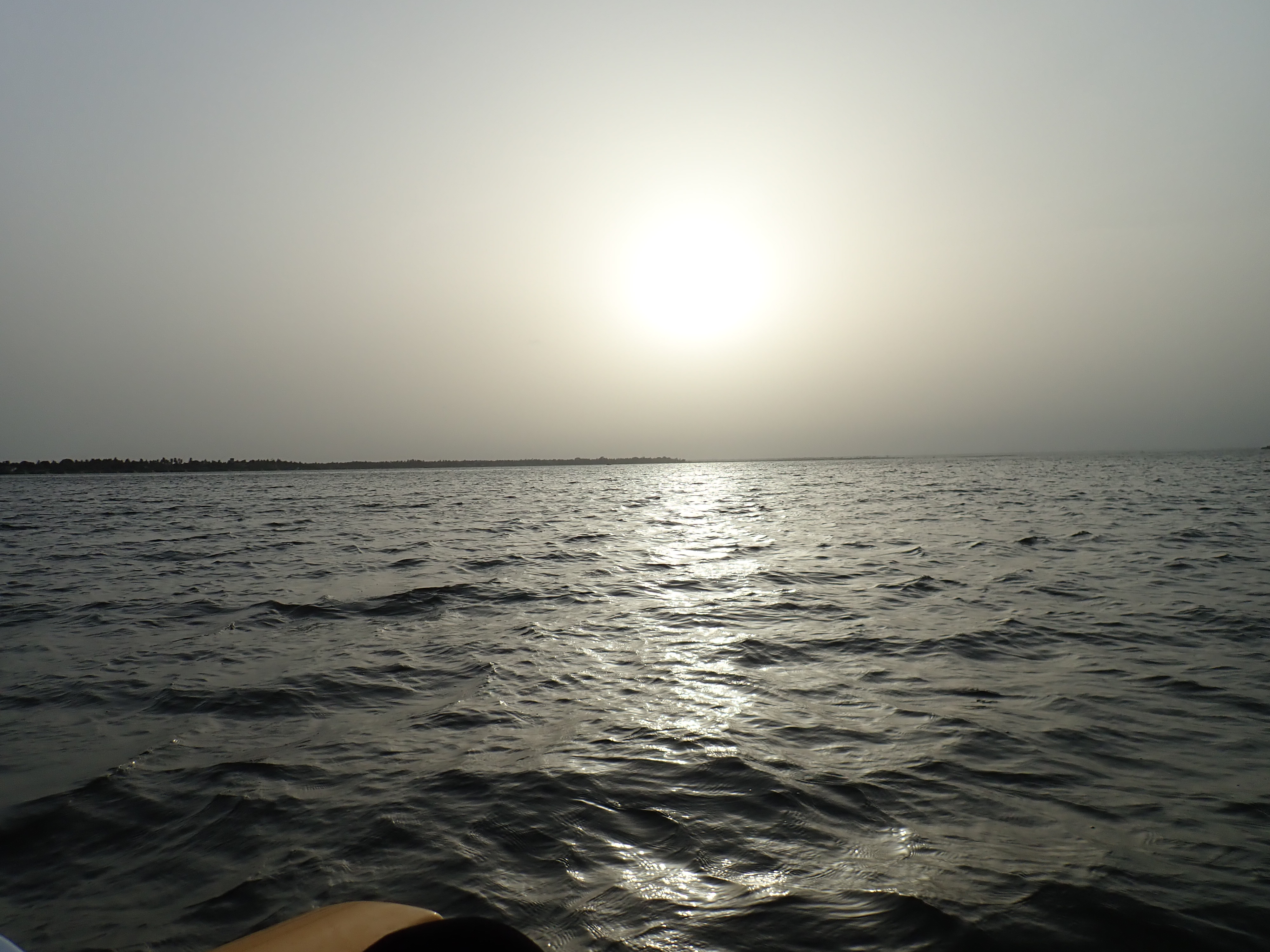
Photos
Reset Map | Back to Main Map
Double click zooms the map to the clicked point. SHIFT+double click zooms out again.