
General landscape information
Explore afforestation areas
Available Woreda layers:
Click on a entry to zoom to it on map
If you choose one area on the map or by searching the GIS database, you get a list of details connected to the chosen area. The connected items can be stored in the GIS or in the portals database.
Afforestation areas in Woreda Legambo
- Geru Ager
- Amede Ager
- Doyoch1
- Doyoch2
- Enani Qundi1
- Enani Qundi2
- Enani Qundi3
- Enani Qundi4
- Enani Qundi6
- Enani Qundi7
- Fincheftu1
- Fincheftu2
- Gormamadie
- Harbu
- Jib Gure
- Kabu Gora
- Lay Melka1
- Lay Melka2
- Qemedo1
- Qemedo2
- Arenze
- Ashangora
- Beru
- Bokeka2
- Bunaw
- Buqasa
- Chiqaw Mender
- Chorqa1
- Keyafer
- Kushager
- Layature
- Lemchequ
- Lgo1
- Lgo2
- Lmat Amba
- Muqada
- Goramara2
- Gurach
- Hocheche
- Hudad1
- Jaro
- Jaro Biyo
- Jemberut
- Ketimeda
- Tebera
- Tefu Amba
- Tefusar1
- Tefusar2
- Tefusar3
- Tenbelelu
- Tsidu Daget
- Washaw1
- Qemedo3
- Qesu Daget
- Qeyatew
- Quatign Dinga
- Sdisto1
- Sdisto2
- Shialeka Tig
- Srtiwurma
- Ajafej1
- Ajafej2
- Ali Argaw_Daget
- Amael
- Amara Qundi
- Amidin
- Arbyewentu
- Ababuko
- Abadarge2
- Abalayu
- Washaw2
- Abashasho
- Wubayehu1
- Abesh Daget
- Wubayehu2
- Adis Amba
- Ahyagedel
- Dubisa1
- Enani Qundi8
- Flate Daget
- Gared
- Gezhi Wonz
- Godgude Kore
- Goramara1
- Abatena
- Godguade
- Guraymelka
- Medaw
- Yegof1
- Yegof2
- Zelesa
- Abasama1
- Abasama2
- Abasama3
- Abakolba
- Begido
- Aba Yiman Ager
- Letiso
- Ahya Menkebaleya
- Ayt Wuha
- Chiroguba
- Gesesie
- Labuche
- Leba Mareja
- Nechu Dinga
- Tinsh Guba
- Tuluba Geda
- Gadity
- Goshu Ager
- Abadingo
- Tlk Guba
- Amael
- Abele Guba
- Adisu Amba
- Ewket Fana
- Jema1
- Jema2
- Lay Mama
- Jemaw
- Kesu Gora
- Kine
- Atatu
- Karakadi
- Kolo Daget
- Koshitu
- Wolelet Tefases
- Yigsa
- Kasa Gedel
- Kltm Mesberia
- Tkur Gedel
- Bukdu
- Jafer
- Sherafit
- Gola1
- Gola2
- Werekyu
- Golji Ager
- Fthanegest2
- Fthanegest1
- Zetena Selbu2
- Zetena Selbu1
- Robit
- Endod
- Astaw Gora
- Senboge
- Abusu Ager
Description for the Woreda
No description yet for Legambo_area with the ui: na
Statistics for Woreda Legambo
- Total size:768.574
- Number of plots:664
- Number of members:5890
Financial situation/ Payment details
Search payment data
| 1. Amount | 2. Amount | 3. Amount |
|---|---|---|
| 0 | 0 | 0 |
No data available for visualisation.
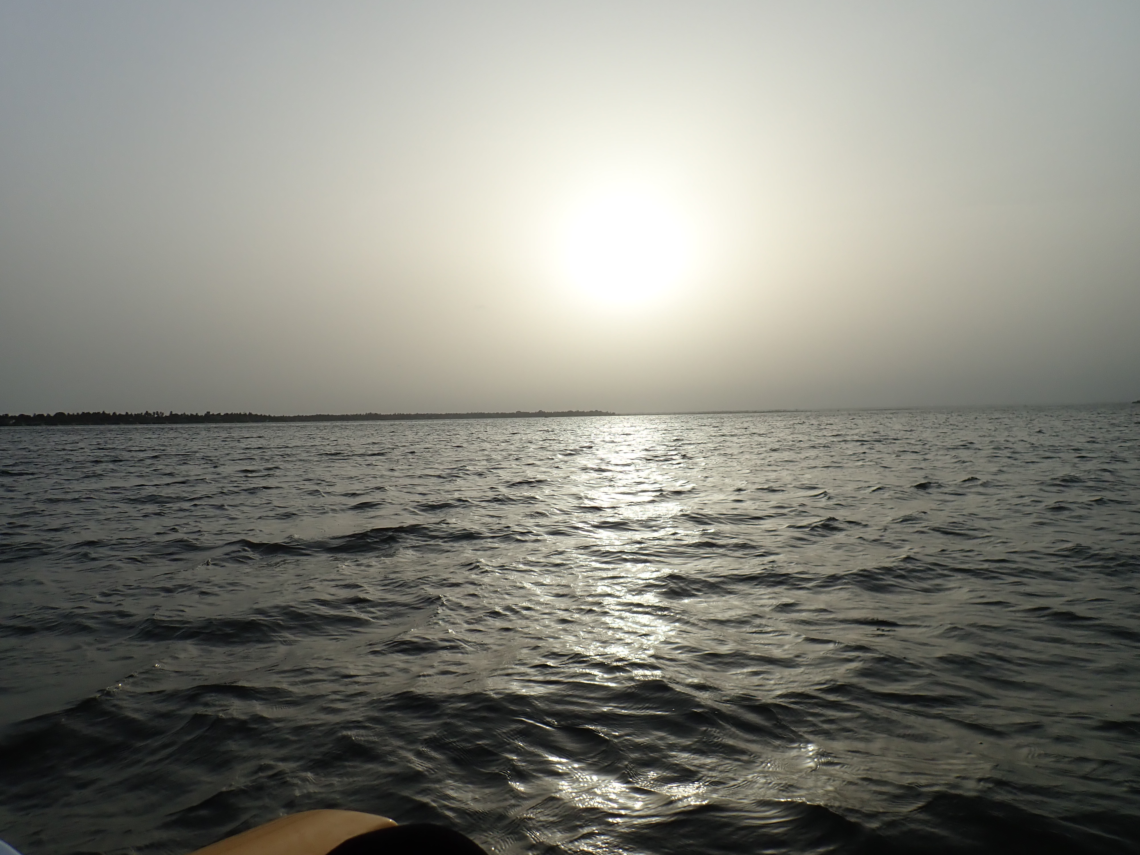
Photos
Reset Map | Back to Main Map
Double click zooms the map to the clicked point. SHIFT+double click zooms out again.