
General landscape information
Explore afforestation areas
Available Woreda layers:
Click on a entry to zoom to it on map
If you choose one area on the map or by searching the GIS database, you get a list of details connected to the chosen area. The connected items can be stored in the GIS or in the portals database.
Afforestation areas in Woreda Mehal Sayint
- Astaw Daget
- Baza
- Dima gora
- Ellenit
- Genboseber
- Godaber
- Hudadu
- Qolele
- Awgas
- Ayzba
- Bado Afaf
- Embuha
- Geshambo
- Gol
- Mawu
- Mokat
- Tatek
- Werkinesh Gojo
- Yeguay
- Yemukt
- Kok Mender
- Aferge
- Asef Dehana
- Ashiker Mentir
- Asle Bado
- Aybado
- Ayfesubsh
- Aygebr
- Ayn_wha
- Berenq
- Berew Sar
- Bero
- Boygan
- Chewamelka
- Dechat
- Degansa
- Dendewa
- Embuayu
- Embuha_2
- Gebre Asha
- Gedamu
- Gena Memcha
- Genboseber_2
- Girgse
- Gewecha
- Gol_2
- Goraw Mender
- Hudadu_2
- Jimgure
- Qechemo
- Maya
- Mays
- Nib Gedel
- Qechn Wenz
- Qonter
- Sheleqo Meda
- Sheten
- Sholaw
- Stotaw Moges
- Telka Muja
- Teter Amba
- Tinchel Meda
- Weynamba Tig
- Weyra Gudguad
- Wulkfa Bado
- Yegish
- Yeguay Sheleqo
- Yeteqa
- Zigujit
- Zuha_1
- Zuha_2
- Yeguat
- Qerno Sona
- Tambarit Amba
- Zuha_3
Description for the Woreda
No description yet for Mehal_Sayint_area with the ui: na
Statistics for Woreda Mehal Sayint
- Total size:483.532
- Number of plots:436
- Number of members:2757
Financial situation/ Payment details
Search payment data
| 1. Amount | 2. Amount | 3. Amount |
|---|---|---|
| 0 | 0 | 0 |
No data available for visualisation.
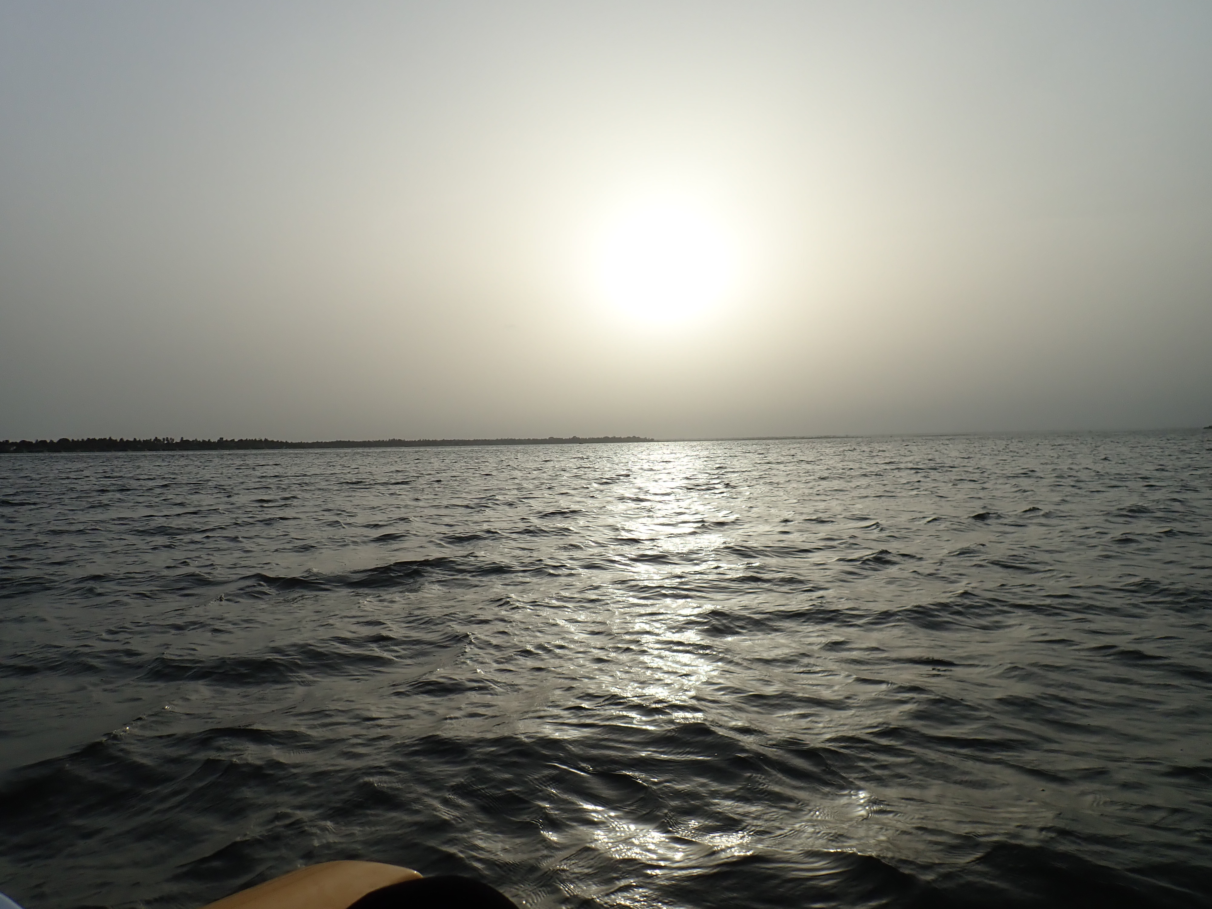
Photos
Reset Map | Back to Main Map
Double click zooms the map to the clicked point. SHIFT+double click zooms out again.