
General landscape information
Explore afforestation areas
Available Woreda layers:
Click on a entry to zoom to it on map
If you choose one area on the map or by searching the GIS database, you get a list of details connected to the chosen area. The connected items can be stored in the GIS or in the portals database.
Afforestation areas in Woreda Mekdela
- Awramba
- Doriga
- Gedeged
- Necho gora
- Abageto
- Abahailu gora
- Abahasen2
- Abuye ager
- Ahmed wonz
- Dissem ambo
- Feterot
- Gendebar
- Gerdeja
- Gudefchefie
- Gulie
- Kasagora
- Kechemogora
- Ligot
- Nefasina
- Sembokitel1
- Sembokitel2
- Tulukabe
- Wahil
- Warlie
- Tigager
- Abatadeg
- Begmarejaw
- Dissem ambo
- Gugut washa
- Guloch
- Kunshgora
- Miseso gedel
- Yegoda1
- Yegoda2
- Ababre gora
- Abadenbesh
- Abagar wose1
- Abagardew
- Abagelan
- Abahailu gora
- Abajire
- Abamaru
- Abamuza
- Abasilet
- Adis amba
- Ahya meshiniya
- Amoye ager
- Asat
- Astaw erg1
- Astaw erg2
- Astaw erg3
- Ateru kuren
- Aytbet
- Bikcho
- Birle wonz
- Birye ager
- Chikaw mender
- Dbi mewugeriya
- Difnet
- Dush debresina
- Eslam amba1
- Gedeged ber
- Gena memcha
- Gendebar
- Girgdu
- Gomboba
- Guloch
- Jartu gora
- Karaworene
- Kiltm mesberiya
- Kitkte
- Kolie1
- Kurkur
- Lay gedeged
- Mado daget
- Mechele
- Meda chefe
- Menchele
- Misrkita
- Mujayda abeba
- Nurye wonz
- Raskab
- Salaysh
- Shifaw kalid
- Tibtibo gora
- Tigager
- Tuli gora
- Warkaw gora
- Washage
- Yebar
- Yekulal1
- Yekulal2
- Yeshagna
- Yiza1
- Ware ager
- Abagulbet
- Abajibo3
- Abamijaw
- Agam wuha 1
- Agam wuha2
- Ahya mendebaleya
- Ahya wogeb
- Ambaw gabiona
- Ambaw gora
- Andaymetr2
- Askuaru
- Bahrdar
- Bahru ager
- Bizu grar2
- Bizu grar1
- Gelana
- Ginchire gora
- Gobie_Ager
- Godguade
- Gosh mewugiya
- Hareh
- Jerjero
- Mejil
- Tilku tid
- Wortay
- Molek
- Seda
- Teg wuha
- Tiftef
- Tultie
- Wochite
- Woromo
- Karaworene2
- Awuraris daget
- Abajibo2
- Abajibo1
- Tach anjawa
- Sayntoch
- Andaymetr1
- Mejil
Description for the Woreda
No description yet for Mekdela_area with the ui: na
Statistics for Woreda Mekdela
- Total size:1014.236
- Number of plots:845
- Number of members:4384
Financial situation/ Payment details
Search payment data
| 1. Amount | 2. Amount | 3. Amount |
|---|---|---|
| 0 | 0 | 0 |
No data available for visualisation.
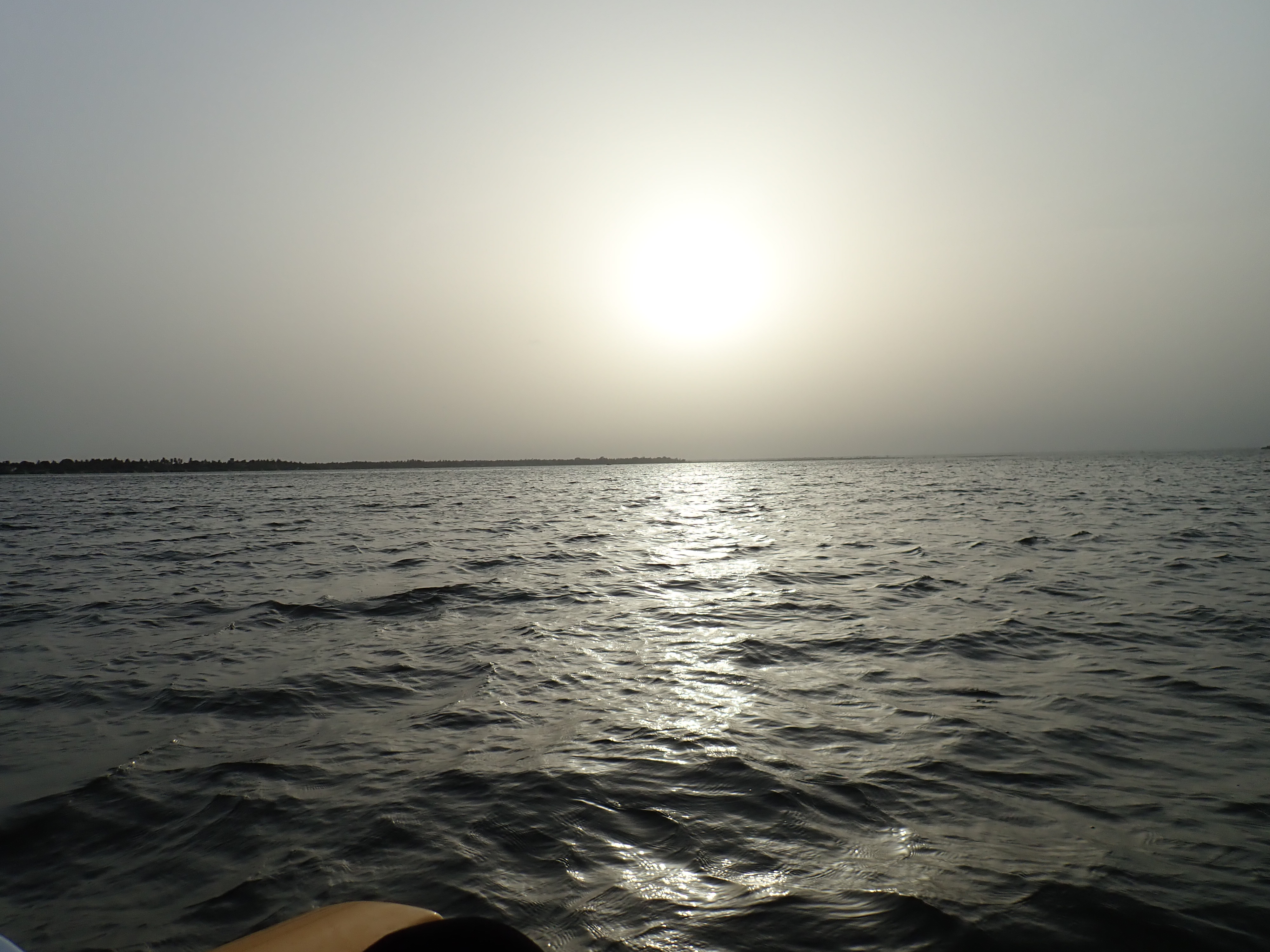
Photos
Reset Map | Back to Main Map
Double click zooms the map to the clicked point. SHIFT+double click zooms out again.