
General landscape information
Explore afforestation areas
Available Woreda layers:
Click on a entry to zoom to it on map
If you choose one area on the map or by searching the GIS database, you get a list of details connected to the chosen area. The connected items can be stored in the GIS or in the portals database.
Afforestation areas in Woreda Tenta
- Abaliager
- Adalager
- Anguar
- Ankerkit
- Golbo
- Gorager
- Gubagala
- Kertoch
- Klkl
- Ktawry
- Manasbot
- Mertofeg
- Meskamba
- Meskele
- Sayntoch
- Selamgy
- Wollofogoro
- Yeguta
- Yelawach
- Getochwha
- Goramender
- Laliengocha
- Tkurenchet
- Werekey
- Ababula
- Abamuhdin
- Abanegash
- Abore
- Abram
- Amidager
- Amoyekab
- Aynambacherefe
- Aynambasr
- Bechure
- Brit
- Bukareh
- Chibtomargefiaw
- Dbilager
- Delel
- Dibkbyand
- Dibkbyehulet
- Embachomariam
- Eretugora
- Gefet
- Godotynt
- Golameda
- Guboch
- Gurament
- Hamusit
- Holehot
- Kalchawmender
- Kmese
- Ktktit
- Kuruager
- Laydens
- Laysesa
- Maholet
- Megere
- Megeretach
- Mosebit
- Nadaw
- Qeretager
- Qeyafer
- Qorqoroch
- Qotigndingay
- Semayager
- Sletmeda
- Tgush
- Tkurden
- Tnshuarenze
- Washoch
- Wefq
- Welemzege
- Werag
- Weynambalayareh
- Woromo
- woromohulet
- Ylala
- Ylawentu
- Abajar
- Abetegora
- Abolewasha
- Amarawqebr
- Amolemeda
- Angur
- Arajudur
- Artuma
- Astoch
- Atatugora
- Beniw
- Betebre
- Bonda
- Buhemeblia
- Cherer
- Dagona
- Damote
- Deldale Kaboger
- Deldale
- Deldalet
- Didoebre
- Dima
- Dingulagul
- Dolo
- Doro
- Ebsugora
- Eretu
- Fitoch
- Godigode
- Godigodit
- Guncha
- kaba
- Kassawersh
- Keygedel
- Keymdir
- Korke
- Ktktaw
- Lamberet
- Laynadis
- Magdo
- Mamaw
- Mamegora
- Maruaygebr
- Megere
- Mognogora
- Musadalager
- Mutte
- Nebrgure
- Qdamit
- Qerqes
- Qulqolamba
- Qund
- Serara
- Setate
- Shahager
- Tena
- Tentadebr
- Tiduafaf
- Wefqoch
- Yekena
- Yembo
Description for the Woreda
No description yet for Tenta_area with the ui: na
Statistics for Woreda Tenta
- Total size:992.577
- Number of plots:872
- Number of members:5438
Financial situation/ Payment details
Search payment data
| 1. Amount | 2. Amount | 3. Amount |
|---|---|---|
| 0 | 0 | 0 |
No data available for visualisation.
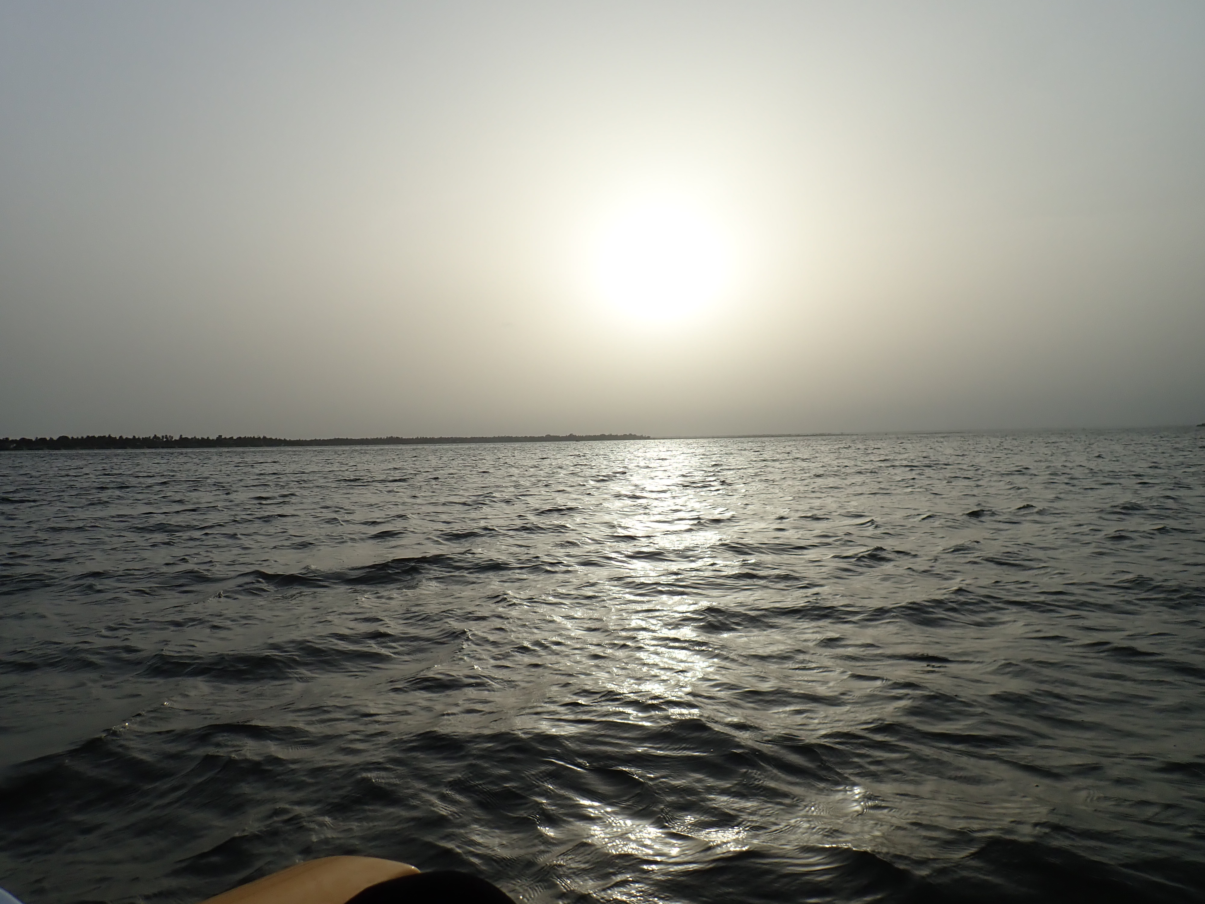
Photos
Reset Map | Back to Main Map
Double click zooms the map to the clicked point. SHIFT+double click zooms out again.