
General landscape information
Explore afforestation areas
Available Woreda layers:
Click on a entry to zoom to it on map
If you choose one area on the map or by searching the GIS database, you get a list of details connected to the chosen area. The connected items can be stored in the GIS or in the portals database.
Afforestation areas in Woreda Tenta 2024
Warning: Trying to access array offset on value of type null in /home/ungeo/amhara/pm_custom_templates/pm_gis/pm_geoserver_map.php on line 222
Warning: foreach() argument must be of type array|object, null given in /home/ungeo/amhara/pm_custom_templates/pm_gis/pm_geoserver_map.php on line 222
Description for the Woreda
No description yet for Tenta_area_2024 with the ui: na
Statistics for Woreda Tenta 2024
- Total size:0
- Number of plots:0
- Number of members:0
Financial situation/ Payment details
Search payment data
| 1. Amount | 2. Amount | 3. Amount |
|---|---|---|
| 0 | 0 | 0 |
No data available for visualisation.
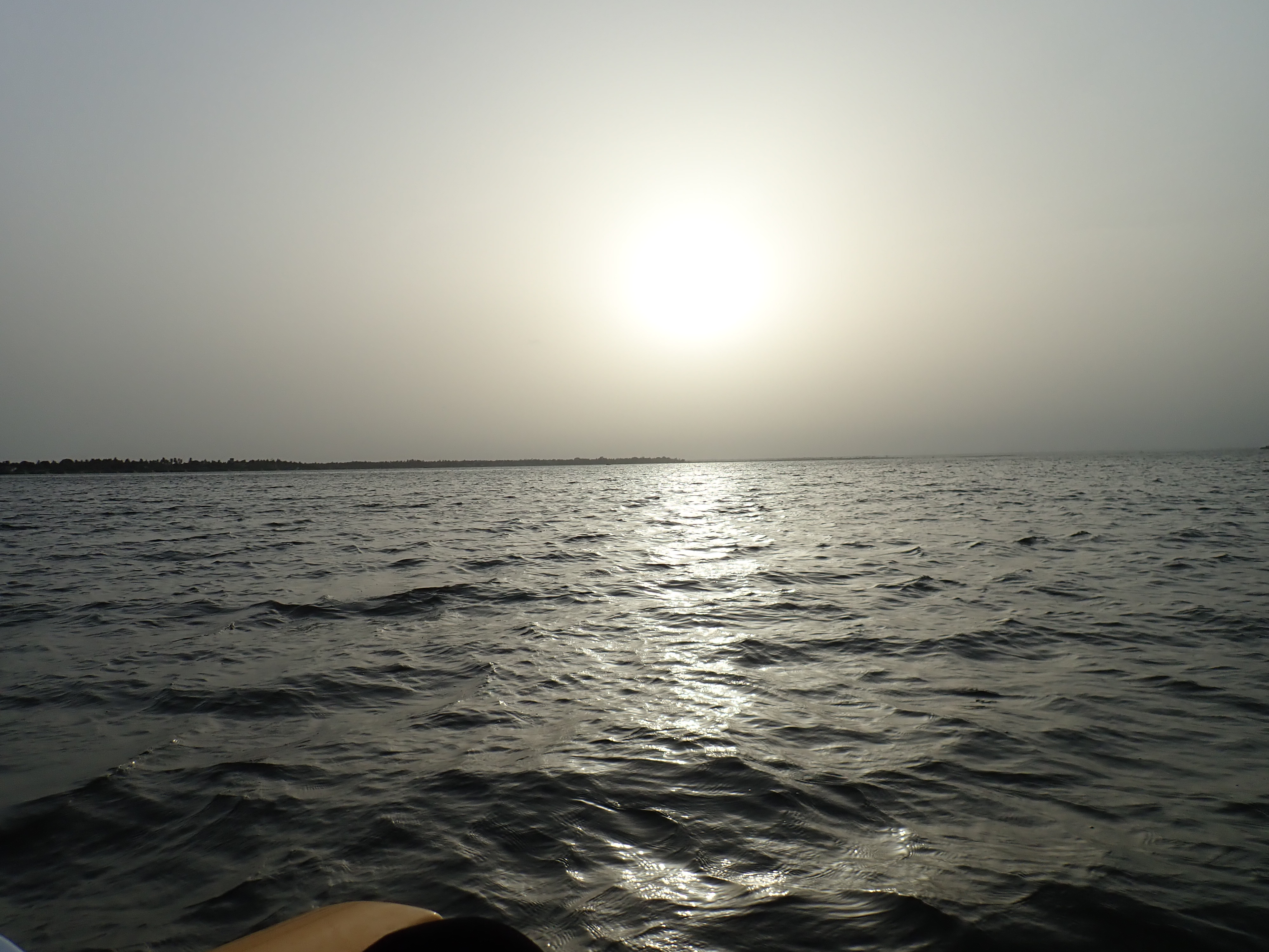
Photos
Reset Map | Back to Main Map
Double click zooms the map to the clicked point. SHIFT+double click zooms out again.